Peugeot 3008 (2017 year). Manual - part 25
25
.
1
1
1
19
21
20
23
22
24
25
Audio and Telematics
Transversal-Peugeot_en_Chap01_NAC-2-2-0_ed01-2016
Level 2
Level 3
Level 4
Comments
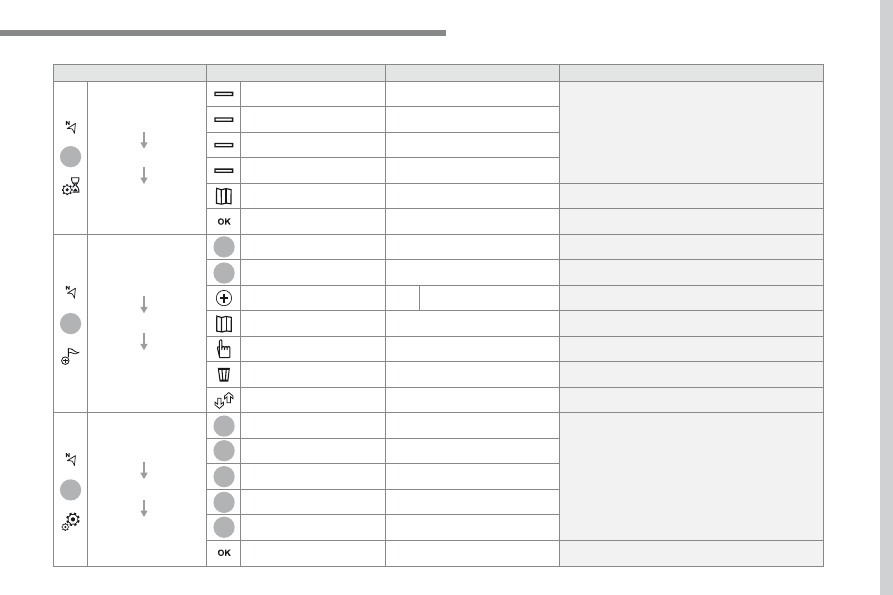
Navigation
MENU
Guidance criteria
Fast
Select the guidance criteria (motorways, tolls and
how traffic is taken into account).
Short
Compromise
Ecological
See on map
Display the route selected using the criteria.
Save your selections.
Navigation
MENU
Routes / waypoints
Waypoints
Display the waypoints saved.
Route
Display details of the route.
Add waypoint
Add a waypoint
Add a waypoint from a list offered.
Preview
Display the map.
Finish
Press to calculate the route.
Delete one or more waypoints.
Move a waypoint in the list.
Navigation
MENU
Settings
Aspects
Enter choices and select the volume for the voice
and stating the names of streets.
Options
Alerts
Vocal
Mapping
Save the selections adopted.